Thunder Bay Generating Station (OPG) – Coal Pile Volume Survey
Background
Ontario Power Generation is an Ontario-based electricity company. As one of the largest power companies in North America, they produce more than half the power used in most homes, schools, hospitals and businesses in Ontario.
TBT Engineering’s Role
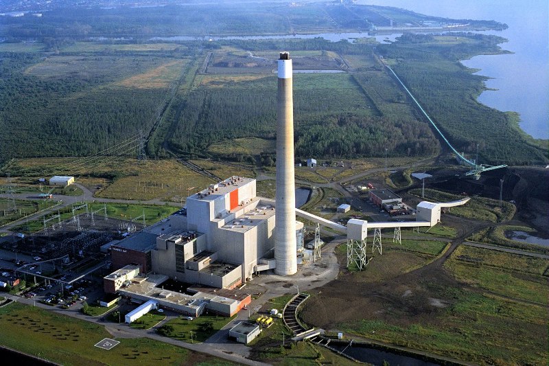
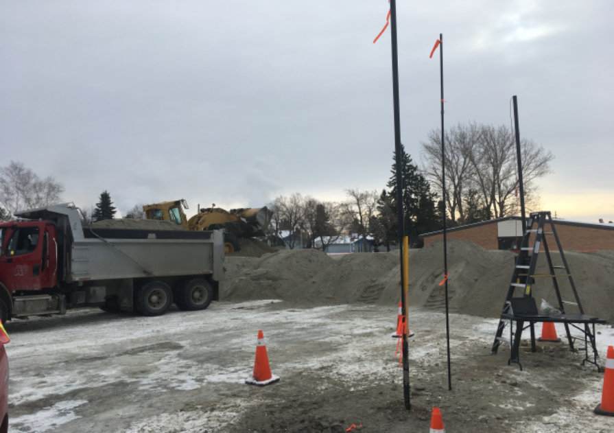
TBT Engineering was commissioned by Ontario Power Generation (OPG) to complete a topographic survey of the coal pile located at the Thunder Bay Generating Station on Mission Island. A two person survey team was used to complete the survey. Trimble R8 Series 3 RTK GPS systems were used for survey equipment.
Investigation (Methodology)
Project Control
Horizontal and vertical project control points were set and coordinated in UTM 6 – Zone 16 (CSRS- NAD83) horizontal datum and Canadian Geodetic Vertical Datum 1928 – 1978 adjustment using RTK GPS. Control was established by Static Means and post-processed using NRCAN data.
Plan Preparation
The preparation of plans, profiles and the Digital Terrain Model were prepared using IESCAD AutoCAD 2009 (Land Development Desktop 2009), LDT format, in accordance with;
– AutoCAD Standards Guide, Version 2004
– IESCAD Software and Standards Version 3.0.1 January 2003
– Engineering Survey Manual, October 2006.
Result Reporting
The Digital Terrain Model was prepared following all break lines along edges of features and used as fault lines. All topographic features were shown on plan and were confirmed with the survey group. Field notes were used to ensure that break lines were used accurately for TIN generation.
The TIN was edited by removing extraneous vectors, rotating vectors for proper ground interpolation and proper break line coverage. Points with elevations, which do not properly reflect the ground elevation, were not used for the TIN.
Pile volume was generated using composite volume method based on the prepared TIN models.


